 vesseltracker.com
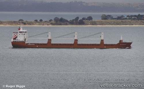
Vessel Molengracht IMO: 9571533, MMSI: 246770000 General Cargo Ship
UTC, 31.61167, -41.86833, course: -1, speed: 12
UTC, 31.48667, -42.27500, course: -1, speed: 13
2026-01-17 17:17:09 UTC, 31.42333, -42.48500, course: -1, speed: 12
Live AIS position:
UTC. 97 nm S of Girard),
updated 2026-01-17 17:17:09 UTC.
Find the position of the vessel Molengracht on the map. The latter are known coordinates and path.
marine traffic ship tracker show on live map
The current position of vessel Molengracht is 31.42333 lat / -42.48500 lng. Updated: 2026-01-17 17:17:09 UTCDetails:
Last coordinates of the vessel:
UTC, 31.70333, -41.57333, course: -1, speed: 12UTC, 31.61167, -41.86833, course: -1, speed: 12
UTC, 31.48667, -42.27500, course: -1, speed: 13
2026-01-17 17:17:09 UTC, 31.42333, -42.48500, course: -1, speed: 12