 vesseltracker.com
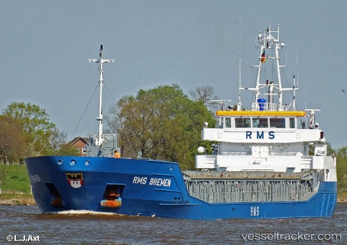
Vessel Wilson Limerick IMO: 9617301, MMSI: 210041000 Multi Purpose Carrier
UTC, 62.36020, 5.21413, course: 42, speed: 10.8
UTC, 62.62317, 5.70484, course: 39, speed: 10
2026-01-17 16:56:17 UTC, 62.67457, 5.79296, course: 38, speed: 10.1
Live AIS position:
UTC. 11 nm NW of Vigra),
updated 2026-01-17 16:56:17 UTC.
Find the position of the vessel Wilson Limerick on the map. The latter are known coordinates and path.
marine traffic ship tracker show on live map
The current position of vessel Wilson Limerick is 62.67457 lat / 5.79296 lng. Updated: 2026-01-17 16:56:17 UTCCurrently sailing under the flag of Cyprus
Wilson Limerick built in 2012 year
Deadweight:
3812 tDetails:
Last coordinates of the vessel:
UTC, 62.36020, 5.21413, course: 42, speed: 10.8UTC, 62.36020, 5.21413, course: 42, speed: 10.8
UTC, 62.62317, 5.70484, course: 39, speed: 10
2026-01-17 16:56:17 UTC, 62.67457, 5.79296, course: 38, speed: 10.1