 vesseltracker.com
Find the position of the vessel SIDER ATLANTIC on the map. The latter are known coordinates and path.
marine traffic ship tracker show on live map
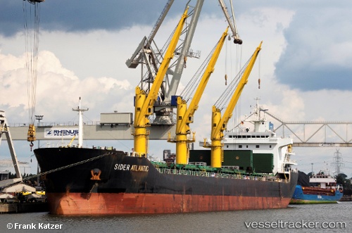
The current position of vessel SIDER ATLANTIC is 43.16 lat / -9.78333 lng. Updated: 2025-08-11 04:41:05 UTCCurrently sailing under the flag of Portugal (MAR)
SIDER ATLANTIC built in 2011 year
Deadweight:
25469 tDetails:
Last coordinates of the vessel:
UTC, 42.715, -9.79, course: -1, speed: 10UTC, 42.825, -9.785, course: -1, speed: 10
UTC, 42.9617, -9.78833, course: -1, speed: 10
2025-08-11 04:41:05 UTC, 43.16, -9.78333, course: -1, speed: 10