 vesseltracker.com
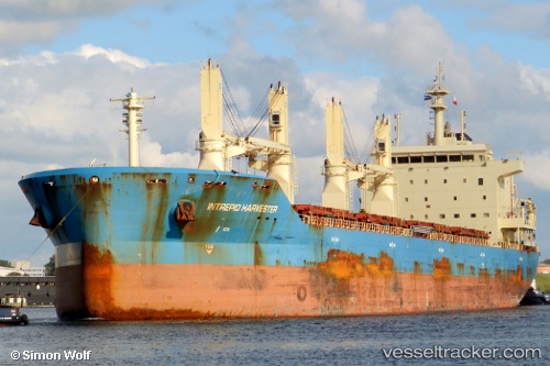
Vessel Mother M IMO: 9626613, MMSI: 538004721 Bulk Carrier
UTC, 29.20667, -74.32333, course: -1, speed: 13
UTC, 29.26167, -74.15833, course: -1, speed: 12
2026-01-19 01:17:09 UTC, 29.44167, -73.73167, course: -1, speed: 12
Live AIS position:
UTC. 160 nm SE of Willow Street),
updated 2026-01-19 01:17:09 UTC.
Find the position of the vessel Mother M on the map. The latter are known coordinates and path.
marine traffic ship tracker show on live map
The current position of vessel Mother M is 29.44167 lat / -73.73167 lng. Updated: 2026-01-19 01:17:09 UTCDetails:
Last coordinates of the vessel:
UTC, 29.16667, -74.42667, course: -1, speed: 12UTC, 29.20667, -74.32333, course: -1, speed: 13
UTC, 29.26167, -74.15833, course: -1, speed: 12
2026-01-19 01:17:09 UTC, 29.44167, -73.73167, course: -1, speed: 12