 vesseltracker.com
Find the position of the vessel HORUS on the map. The latter are known coordinates and path.
marine traffic ship tracker show on live map
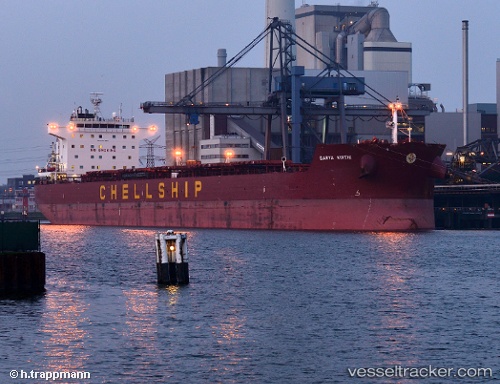
The current position of vessel HORUS is 36.935733333333 lat / -50.351696666667 lng. Updated: 2025-10-24 22:13:47 UTCCurrently sailing under the flag of Marshall Is
HORUS built in 2012 year
Deadweight:
80545 tDetails:
Last coordinates of the vessel:
UTC, 36.935733333333, -50.351696666667, course: 275, speed: 10.9UTC, 36.935733333333, -50.351696666667, course: 275, speed: 10.9
UTC, 36.935733333333, -50.351696666667, course: 275, speed: 10.9
2025-10-24 22:13:47 UTC, 36.935733333333, -50.351696666667, course: 275, speed: 10.9
The ship also appears on the maps: