 vesseltracker.com
Live AIS position:
2.04237° N, 52.18449° E UTC. 395 nm E of El Maan),
updated 2025-11-23 23:47:45 UTC.
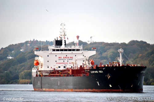
Find the position of the vessel Elandra Sea on the map. The latter are known coordinates and path.
marine traffic ship tracker show on live map
The current position of vessel Elandra Sea is 2.04237 lat / 52.18449 lng. Updated: 2025-11-23 23:47:45 UTCCurrently sailing under the flag of Marshall Is
Elandra Sea built in 2013 year
Deadweight:
49999 tDetails:
Last coordinates of the vessel:
UTC, 2.60408, 52.56936, course: 212, speed: 12.3UTC, 2.36008, 52.40057, course: 217, speed: 12.4
UTC, 2.22563, 52.30812, course: 214, speed: 12
2025-11-23 23:47:45 UTC, 2.04237, 52.18449, course: 219, speed: 11.9