 vesseltracker.com
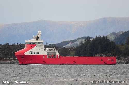
Vessel Rem Eir IMO: 9668647, MMSI: 257766000 Offshore Tug Supply Ship
UTC, 61.41334, 3.46300, course: 82, speed: 10.4
UTC, 61.45166, 3.83773, course: 82, speed: 10.1
2026-01-18 14:12:22 UTC, 61.49129, 4.23071, course: 87, speed: 10.9
Live AIS position:
UTC. Near Gjoa),
updated 2026-01-18 14:12:22 UTC.
Find the position of the vessel Rem Eir on the map. The latter are known coordinates and path.
marine traffic ship tracker show on live map
The current position of vessel Rem Eir is 61.49129 lat / 4.23071 lng. Updated: 2026-01-18 14:12:22 UTCCurrently sailing under the flag of Norway
Details:
Last coordinates of the vessel:
UTC, 61.35735, 2.90147, course: 80, speed: 8.9UTC, 61.41334, 3.46300, course: 82, speed: 10.4
UTC, 61.45166, 3.83773, course: 82, speed: 10.1
2026-01-18 14:12:22 UTC, 61.49129, 4.23071, course: 87, speed: 10.9