 vesseltracker.com
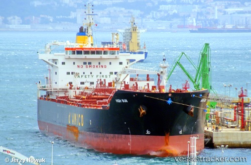
Vessel T.fatma IMO: 9689134, MMSI: 271046791 Chemical Oil Products Tanker
UTC, 40.75389, 29.74933, course: 248, speed: 0
UTC, 40.75384, 29.74934, course: 248, speed: 0
2026-01-15 07:30:36 UTC, 40.75380, 29.74930, course: 248, speed: 0
Live AIS position:
UTC. Near KORFEZ),
updated 2026-01-15 07:30:36 UTC.
Find the position of the vessel T.fatma on the map. The latter are known coordinates and path.
marine traffic ship tracker show on live map
The current position of vessel T.fatma is 40.75380 lat / 29.74930 lng. Updated: 2026-01-15 07:30:36 UTCCurrently sailing under the flag of Turkey
T.fatma built in 2014 year
Deadweight:
50000 tDetails:
Last coordinates of the vessel:
UTC, 40.75381, 29.74932, course: 248, speed: 0UTC, 40.75389, 29.74933, course: 248, speed: 0
UTC, 40.75384, 29.74934, course: 248, speed: 0
2026-01-15 07:30:36 UTC, 40.75380, 29.74930, course: 248, speed: 0