 vesseltracker.com
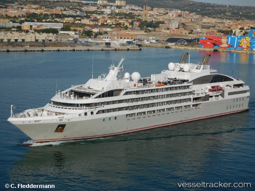
Vessel Le Lyrial IMO: 9704130, MMSI: 578000800 Cruise Ship
UTC, -55.95847, -38.32503, course: 228, speed: 13.9
UTC, -56.17462, -38.74240, course: 230, speed: 14.7
2026-01-17 12:04:33 UTC, -56.31050, -39.03193, course: 237, speed: 15
Live AIS position:
UTC. 150 nm SW of Grytviken),
updated 2026-01-17 12:04:33 UTC.
Find the position of the vessel Le Lyrial on the map. The latter are known coordinates and path.
marine traffic ship tracker show on live map
The current position of vessel Le Lyrial is -56.31050 lat / -39.03193 lng. Updated: 2026-01-17 12:04:33 UTCDetails:
Last coordinates of the vessel:
UTC, -55.36569, -37.22188, course: 228, speed: 13.9UTC, -55.95847, -38.32503, course: 228, speed: 13.9
UTC, -56.17462, -38.74240, course: 230, speed: 14.7
2026-01-17 12:04:33 UTC, -56.31050, -39.03193, course: 237, speed: 15