 vesseltracker.com
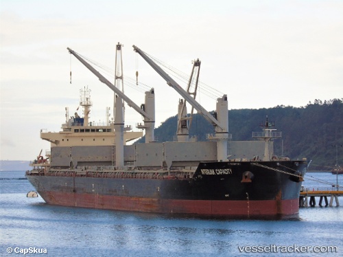
Vessel Interlink Capacity IMO: 9711731, MMSI: 538005695 Bulk Carrier
UTC, -38.65394, 145.02464, course: 124, speed: 10.9
UTC, -38.76971, 145.23676, course: 124, speed: 10.2
2026-01-18 09:19:45 UTC, -38.84724, 145.39281, course: 119, speed: 10.1
Live AIS position:
UTC. 11 nm NW of Maryknoll),
updated 2026-01-18 09:19:45 UTC.
Find the position of the vessel Interlink Capacity on the map. The latter are known coordinates and path.
marine traffic ship tracker show on live map
The current position of vessel Interlink Capacity is -38.84724 lat / 145.39281 lng. Updated: 2026-01-18 09:19:45 UTCDetails:
Last coordinates of the vessel:
UTC, -38.57776, 144.88245, course: 125, speed: 10.9UTC, -38.65394, 145.02464, course: 124, speed: 10.9
UTC, -38.76971, 145.23676, course: 124, speed: 10.2
2026-01-18 09:19:45 UTC, -38.84724, 145.39281, course: 119, speed: 10.1