 vesseltracker.com
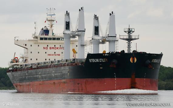
Find the position of the vessel Interlink Utility on the map. The latter are known coordinates and path.
marine traffic ship tracker show on live map
The current position of vessel Interlink Utility is 1.273985 lat / 103.88407666667 lng. Updated: 2025-10-23 20:09:50 UTCCurrently sailing under the flag of Marshall Is
Details:
Last coordinates of the vessel:
UTC, 1.2735433333333, 103.88373666667, course: 318, speed: 0UTC, 1.2733333333333, 103.88333333333, course: -1, speed: 0
UTC, 1.2741733333333, 103.884045, course: 288, speed: 0
2025-10-23 20:09:50 UTC, 1.273985, 103.88407666667, course: 298, speed: 0.1