 vesseltracker.com
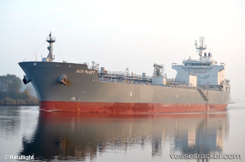
Find the position of the vessel Eco Fleet on the map. The latter are known coordinates and path.
marine traffic ship tracker show on live map
The current position of vessel Eco Fleet is 40.71733093261719 lat / 29.472063064575195 lng. Updated: 2025-06-14 09:39:49 UTCCurrently sailing under the flag of Marshall Is
Details:
Last coordinates of the vessel:
2025-06-14 09:39:49 UTC, 40.71733093261719, 29.472063064575195, course: 308, speed: 0