 vesseltracker.com
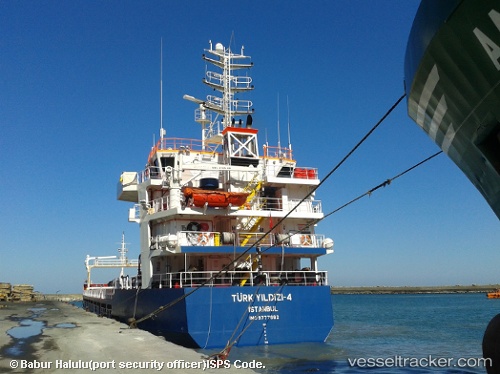
Find the position of the vessel Turk Yildizi 4 on the map. The latter are known coordinates and path.
marine traffic ship tracker show on live map
The current position of vessel Turk Yildizi 4 is 39.4376 lat / 26.1869 lng. Updated: 2025-07-22 07:01:46 UTCCurrently sailing under the flag of Turkey
Details:
Last coordinates of the vessel:
UTC, 39.1534, 26.7001, course: 318, speed: 10.1UTC, 39.2446, 26.5769, course: 314, speed: 10.1
UTC, 39.3657, 26.4755, course: 335, speed: 10.2
2025-07-22 07:01:46 UTC, 39.4376, 26.1869, course: 262, speed: 10.3