 vesseltracker.com
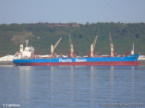
Find the position of the vessel Isabela Island on the map. The latter are known coordinates and path.
marine traffic ship tracker show on live map
The current position of vessel Isabela Island is -35.70034 lat / -55.38035 lng. Updated: 2025-09-30 19:26:45 UTCDetails:
Last coordinates of the vessel:
UTC, -35.19259, -55.40122, course: 177, speed: 10.8UTC, -35.34968, -55.38941, course: 177, speed: 10.9
UTC, -35.63598, -55.38426, course: 175, speed: 11.4
2025-09-30 19:26:45 UTC, -35.70034, -55.38035, course: 176, speed: 11.6