 vesseltracker.com
Live AIS position:
6.28500° N, 3.99868° E UTC. 22 nm S of Ketu),
updated 2025-11-23 23:27:23 UTC.
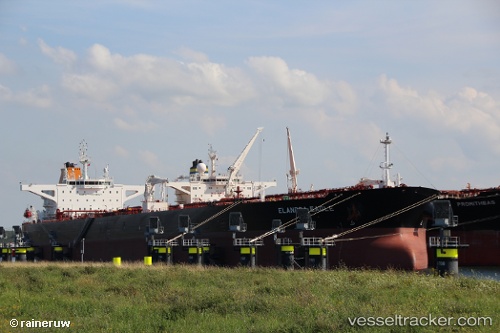
Find the position of the vessel Elandra Eagle on the map. The latter are known coordinates and path.
marine traffic ship tracker show on live map
The current position of vessel Elandra Eagle is 6.28500 lat / 3.99868 lng. Updated: 2025-11-23 23:27:23 UTCDetails:
Last coordinates of the vessel:
UTC, 6.28559, 3.99887, course: 269, speed: 0.7UTC, 6.28525, 3.99883, course: 277, speed: 0.6
UTC, 6.28526, 3.99880, course: 275, speed: 0.7
2025-11-23 23:27:23 UTC, 6.28500, 3.99868, course: 280, speed: 0.6
The ship also appears on the maps: