 vesseltracker.com
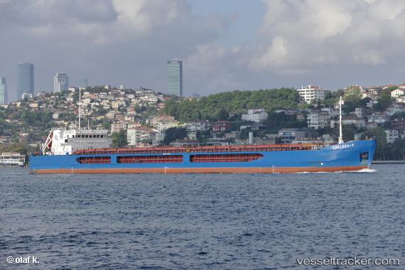
Vessel Chelsea 7 IMO: 9492634, MMSI: 215991000 General Cargo Ship
UTC, 42.7021, 28.3999, course: 328, speed: 7.8
UTC, 42.9369, 28.1965, course: 313, speed: 8.3
2026-02-24 06:14:40 UTC, 43.152, 28.0488, course: 327, speed: 7.9
Live AIS position:
UTC. Near Varna),
updated 2026-02-24 06:14:40 UTC.
Find the position of the vessel Chelsea 7 on the map. The latter are known coordinates and path.
marine traffic ship tracker show on live map
The current position of vessel Chelsea 7 is 43.152 lat / 28.0488 lng. Updated: 2026-02-24 06:14:40 UTCCurrently sailing under the flag of Malta
Chelsea 7 built in 2010 year
Deadweight:
6320 tDetails:
Last coordinates of the vessel:
UTC, 42.443, 28.5772, course: 329, speed: 7.6UTC, 42.7021, 28.3999, course: 328, speed: 7.8
UTC, 42.9369, 28.1965, course: 313, speed: 8.3
2026-02-24 06:14:40 UTC, 43.152, 28.0488, course: 327, speed: 7.9