 vesseltracker.com
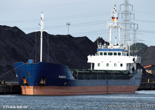
Vessel Sarah b IMO: 9119622, MMSI: 218836000 Multi Purpose Carrier
UTC, 54.1554, 9.37928, course: 241, speed: 6.8
UTC, 54.0398, 9.30296, course: 192, speed: 1.4
2026-02-06 07:50:30 UTC, 53.8935, 9.144, course: 230, speed: 0
Live AIS position:
UTC. Near Kiel Canal),
updated 2026-02-06 07:50:30 UTC.
Find the position of the vessel Sarah b on the map. The latter are known coordinates and path.
marine traffic ship tracker show on live map
The current position of vessel Sarah b is 53.8935 lat / 9.144 lng. Updated: 2026-02-06 07:50:30 UTCDetails:
Last coordinates of the vessel:
UTC, 54.3263, 9.71942, course: 220, speed: 6.9UTC, 54.1554, 9.37928, course: 241, speed: 6.8
UTC, 54.0398, 9.30296, course: 192, speed: 1.4
2026-02-06 07:50:30 UTC, 53.8935, 9.144, course: 230, speed: 0