 vesseltracker.com
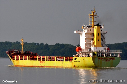
Vessel Annetta IMO: 9396543, MMSI: 229992000 Multi Purpose Carrier
UTC, 40.48200, 26.80945, course: 64, speed: 0
UTC, 40.48214, 26.80934, course: 70, speed: 0
2026-02-06 11:35:34 UTC, 40.48224, 26.80939, course: 81, speed: 0.1
Live AIS position:
UTC. Near Gelibolu),
updated 2026-02-06 11:35:34 UTC.
Find the position of the vessel Annetta on the map. The latter are known coordinates and path.
marine traffic ship tracker show on live map
The current position of vessel Annetta is 40.48224 lat / 26.80939 lng. Updated: 2026-02-06 11:35:34 UTCDetails:
Last coordinates of the vessel:
UTC, 40.48736, 26.88299, course: 242, speed: 8.4UTC, 40.48200, 26.80945, course: 64, speed: 0
UTC, 40.48214, 26.80934, course: 70, speed: 0
2026-02-06 11:35:34 UTC, 40.48224, 26.80939, course: 81, speed: 0.1