 vesseltracker.com
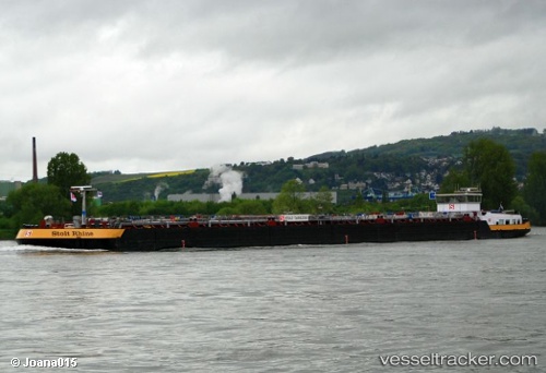
Vessel Stolt Rhine IMO: 9617052, MMSI: 244740787 Other Tanker
UTC, 53.27997, 6.76551, course: -1, speed: 0
UTC, 53.27991, 6.76549, course: -1, speed: 0
2026-01-31 04:34:45 UTC, 53.25782, 6.70358, course: -1, speed: 6.4
Live AIS position:
UTC. Near Lageland),
updated 2026-01-31 04:34:45 UTC.
Find the position of the vessel Stolt Rhine on the map. The latter are known coordinates and path.
marine traffic ship tracker show on live map
The current position of vessel Stolt Rhine is 53.25782 lat / 6.70358 lng. Updated: 2026-01-31 04:34:45 UTCCurrently sailing under the flag of Netherlands
Details:
Last coordinates of the vessel:
UTC, 53.27994, 6.76548, course: -1, speed: 0UTC, 53.27997, 6.76551, course: -1, speed: 0
UTC, 53.27991, 6.76549, course: -1, speed: 0
2026-01-31 04:34:45 UTC, 53.25782, 6.70358, course: -1, speed: 6.4