 vesseltracker.com
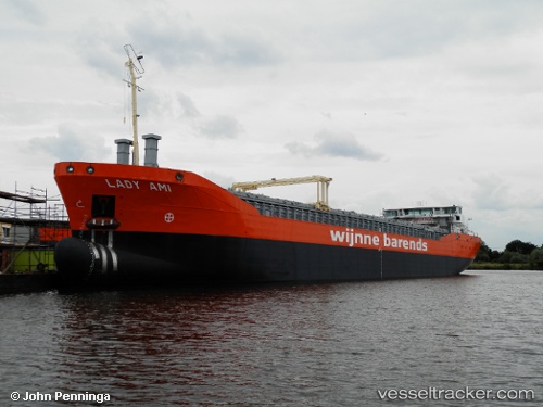
Vessel Lady Ami IMO: 9624861, MMSI: 244850116 General Cargo Ship
UTC, 53.09950, 7.39429, course: 39, speed: 0
UTC, 53.09952, 7.39423, course: 39, speed: 0
2026-01-24 03:26:16 UTC, 53.09833, 7.39333, course: -1, speed: 0
Live AIS position:
UTC. Near PAPENBURG),
updated 2026-01-24 03:26:16 UTC.
Find the position of the vessel Lady Ami on the map. The latter are known coordinates and path.
marine traffic ship tracker show on live map
The current position of vessel Lady Ami is 53.09833 lat / 7.39333 lng. Updated: 2026-01-24 03:26:16 UTCCurrently sailing under the flag of Netherlands
Details:
Last coordinates of the vessel:
UTC, 53.09953, 7.39427, course: 39, speed: 0UTC, 53.09950, 7.39429, course: 39, speed: 0
UTC, 53.09952, 7.39423, course: 39, speed: 0
2026-01-24 03:26:16 UTC, 53.09833, 7.39333, course: -1, speed: 0