 vesseltracker.com
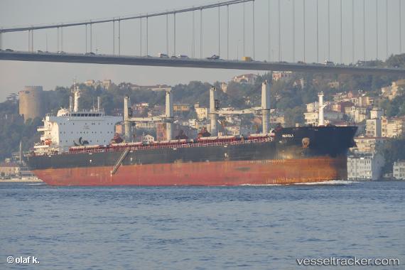
Vessel Nefeli IMO: 9696462, MMSI: 249390000 Bulk Carrier
UTC, 20.69265, 108.06144, course: 62, speed: 0
UTC, 20.50683, 108.04447, course: 179, speed: 11.3
2026-02-01 17:20:22 UTC, 20.29833, 108.04333, course: -1, speed: 11
Live AIS position:
UTC. 45 nm W of Haikou New Pt),
updated 2026-02-01 17:20:22 UTC.
Find the position of the vessel Nefeli on the map. The latter are known coordinates and path.
marine traffic ship tracker show on live map
The current position of vessel Nefeli is 20.29833 lat / 108.04333 lng. Updated: 2026-02-01 17:20:22 UTCCurrently sailing under the flag of Malta
Details:
Last coordinates of the vessel:
UTC, 20.69257, 108.06145, course: 54, speed: 0UTC, 20.69265, 108.06144, course: 62, speed: 0
UTC, 20.50683, 108.04447, course: 179, speed: 11.3
2026-02-01 17:20:22 UTC, 20.29833, 108.04333, course: -1, speed: 11