 vesseltracker.com
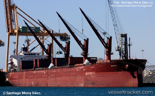
Vessel Manna IMO: 9304100, MMSI: 249563000 Bulk Carrier
UTC, 36.81735, 30.61488, course: 90, speed: 0.2
UTC, 36.81842, 30.61569, course: 139, speed: 0
2026-01-31 05:15:54 UTC, 36.81853, 30.61593, course: 153, speed: 0.1
Live AIS position:
UTC. Near Antalya Free Zone),
updated 2026-01-31 05:15:54 UTC.
Find the position of the vessel Manna on the map. The latter are known coordinates and path.
marine traffic ship tracker show on live map
The current position of vessel Manna is 36.81853 lat / 30.61593 lng. Updated: 2026-01-31 05:15:54 UTCDetails:
Last coordinates of the vessel:
UTC, 36.81667, 30.61500, course: -1, speed: 0UTC, 36.81735, 30.61488, course: 90, speed: 0.2
UTC, 36.81842, 30.61569, course: 139, speed: 0
2026-01-31 05:15:54 UTC, 36.81853, 30.61593, course: 153, speed: 0.1