 vesseltracker.com
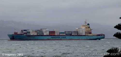
Vessel Sine A IMO: 9343089, MMSI: 256318000 Container Ship
UTC, 36.72048, 34.64471, course: 183, speed: 0.8
UTC, 36.71865, 34.64223, course: 87, speed: 0.1
2026-02-03 20:23:40 UTC, 36.71874, 34.64220, course: 87, speed: 1.1
Live AIS position:
UTC. Near Mersin),
updated 2026-02-03 20:23:40 UTC.
Find the position of the vessel Sine A on the map. The latter are known coordinates and path.
marine traffic ship tracker show on live map
The current position of vessel Sine A is 36.71874 lat / 34.64220 lng. Updated: 2026-02-03 20:23:40 UTCCurrently sailing under the flag of Malta
Sine A built in 2008 year
Deadweight:
39426 tDetails:
Last coordinates of the vessel:
UTC, 36.72048, 34.64507, course: 191, speed: 0.1UTC, 36.72048, 34.64471, course: 183, speed: 0.8
UTC, 36.71865, 34.64223, course: 87, speed: 0.1
2026-02-03 20:23:40 UTC, 36.71874, 34.64220, course: 87, speed: 1.1