 vesseltracker.com
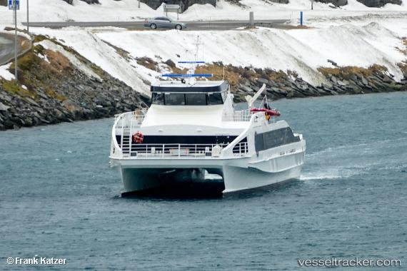
Vessel Aaroy IMO: 9753806, MMSI: 257720700 Passenger Ship
UTC, 65.43335, 12.15526, course: 188, speed: 23.9
UTC, 64.80240, 11.11138, course: 221, speed: 25.1
2026-01-30 14:09:51 UTC, 64.26109, 10.00859, course: 211, speed: 24.6
Live AIS position:
UTC. 10 nm NW of Brandsfjord),
updated 2026-01-30 14:09:51 UTC.
Find the position of the vessel Aaroy on the map. The latter are known coordinates and path.
marine traffic ship tracker show on live map
The current position of vessel Aaroy is 64.26109 lat / 10.00859 lng. Updated: 2026-01-30 14:09:51 UTCCurrently sailing under the flag of Norway
Details:
Last coordinates of the vessel:
UTC, 66.02265, 12.63259, course: 69, speed: 0UTC, 65.43335, 12.15526, course: 188, speed: 23.9
UTC, 64.80240, 11.11138, course: 221, speed: 25.1
2026-01-30 14:09:51 UTC, 64.26109, 10.00859, course: 211, speed: 24.6