 vesseltracker.com
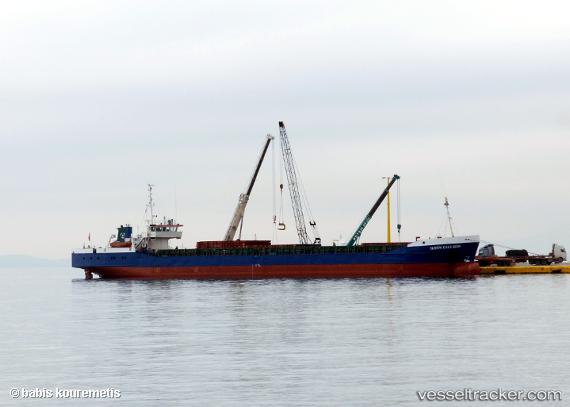
Vessel Tahsin Kalkavan IMO: 8515661, MMSI: 271043540 General Cargo Ship
UTC, 40.77800, 29.60045, course: 76, speed: 0
UTC, 40.77800, 29.60042, course: 76, speed: 0
2026-01-26 02:08:34 UTC, 40.77799, 29.60042, course: 76, speed: 0
Live AIS position:
UTC. Near HEREKE),
updated 2026-01-26 02:08:34 UTC.
Find the position of the vessel Tahsin Kalkavan on the map. The latter are known coordinates and path.
marine traffic ship tracker show on live map
The current position of vessel Tahsin Kalkavan is 40.77799 lat / 29.60042 lng. Updated: 2026-01-26 02:08:34 UTCCurrently sailing under the flag of Turkey
Tahsin Kalkavan built in 1986 year
Deadweight:
2886 tDetails:
Last coordinates of the vessel:
UTC, 40.77799, 29.60045, course: 76, speed: 0UTC, 40.77800, 29.60045, course: 76, speed: 0
UTC, 40.77800, 29.60042, course: 76, speed: 0
2026-01-26 02:08:34 UTC, 40.77799, 29.60042, course: 76, speed: 0