 vesseltracker.com
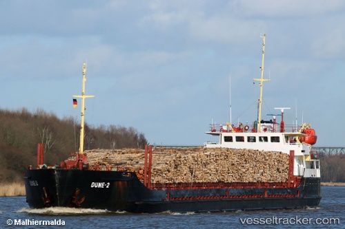
Vessel DUNE 2 IMO: 8728048, MMSI: 273214220 General Cargo Ship
UTC, 48.51167, 44.56167, course: -1, speed: 43
UTC, 48.51167, 44.56167, course: -1, speed: 43
2026-02-03 08:31:16 UTC, 48.51167, 44.56167, course: -1, speed: 43
Live AIS position:
UTC. 12 nm S of VOLGOGRAD),
updated 2026-02-03 08:31:16 UTC.
Find the position of the vessel DUNE 2 on the map. The latter are known coordinates and path.
marine traffic ship tracker show on live map
The current position of vessel DUNE 2 is 48.51167 lat / 44.56167 lng. Updated: 2026-02-03 08:31:16 UTCCurrently sailing under the flag of Russia
DUNE 2 built in 1970 year
Deadweight:
3472 tDetails:
Last coordinates of the vessel:
UTC, 45.02667, 47.70833, course: -1, speed: 0UTC, 48.51167, 44.56167, course: -1, speed: 43
UTC, 48.51167, 44.56167, course: -1, speed: 43
2026-02-03 08:31:16 UTC, 48.51167, 44.56167, course: -1, speed: 43