 vesseltracker.com
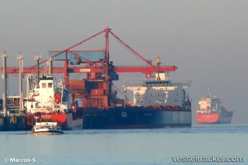
Vessel Aquaman IMO: 9225029, MMSI: 311128000 Ore Carrier
UTC, 59.78073, 28.40635, course: 329, speed: 0.1
UTC, 59.78074, 28.40620, course: 329, speed: 0.1
2026-02-10 15:59:41 UTC, 59.78074, 28.40620, course: 329, speed: 0.1
Live AIS position:
UTC. Near VISTINO),
updated 2026-02-10 15:59:41 UTC.
Find the position of the vessel Aquaman on the map. The latter are known coordinates and path.
marine traffic ship tracker show on live map
The current position of vessel Aquaman is 59.78074 lat / 28.40620 lng. Updated: 2026-02-10 15:59:41 UTCDetails:
Last coordinates of the vessel:
UTC, 59.78075, 28.40618, course: 329, speed: 0UTC, 59.78073, 28.40635, course: 329, speed: 0.1
UTC, 59.78074, 28.40620, course: 329, speed: 0.1
2026-02-10 15:59:41 UTC, 59.78074, 28.40620, course: 329, speed: 0.1