 vesseltracker.com
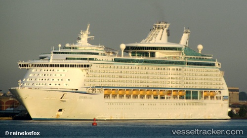
Vessel Explorer Of The Seas IMO: 9161728, MMSI: 311316000 Cruise Ship
UTC, 20.48217, -86.97587, course: 357, speed: 0
UTC, 20.59267, -86.93571, course: 42, speed: 21.1
2026-02-11 00:19:03 UTC, 21.00333, -86.33667, course: -1, speed: 21
Live AIS position:
UTC. 27 nm SE of ISLA MUJERES),
updated 2026-02-11 00:19:03 UTC.
Find the position of the vessel Explorer Of The Seas on the map. The latter are known coordinates and path.
marine traffic ship tracker show on live map
The current position of vessel Explorer Of The Seas is 21.00333 lat / -86.33667 lng. Updated: 2026-02-11 00:19:03 UTCCurrently sailing under the flag of Bahamas
Explorer Of The Seas built in 2000 year
Deadweight:
10937 tDetails:
Last coordinates of the vessel:
UTC, 20.48217, -86.97587, course: 357, speed: 0UTC, 20.48217, -86.97587, course: 357, speed: 0
UTC, 20.59267, -86.93571, course: 42, speed: 21.1
2026-02-11 00:19:03 UTC, 21.00333, -86.33667, course: -1, speed: 21