 vesseltracker.com
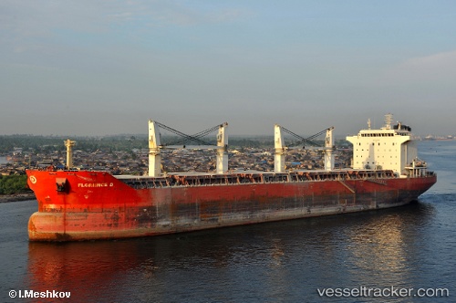
Vessel VIVA GALAXY IMO: 9330630, MMSI: 352001195 Bulk Carrier
UTC, 41.80335, 30.62580, course: 55, speed: 10.2
UTC, 41.82108, 30.66459, course: 53, speed: 10.1
2026-01-19 02:07:24 UTC, 41.90912, 30.86014, course: 53, speed: 9.8
Live AIS position:
UTC. 41 nm NE of Maials),
updated 2026-01-19 02:07:24 UTC.
Find the position of the vessel VIVA GALAXY on the map. The latter are known coordinates and path.
marine traffic ship tracker show on live map
The current position of vessel VIVA GALAXY is 41.90912 lat / 30.86014 lng. Updated: 2026-01-19 02:07:24 UTCCurrently sailing under the flag of Panama
VIVA GALAXY built in 2007 year
Deadweight:
53460 tDetails:
Last coordinates of the vessel:
UTC, 41.70954, 30.40256, course: 52, speed: 9.8UTC, 41.80335, 30.62580, course: 55, speed: 10.2
UTC, 41.82108, 30.66459, course: 53, speed: 10.1
2026-01-19 02:07:24 UTC, 41.90912, 30.86014, course: 53, speed: 9.8