 vesseltracker.com
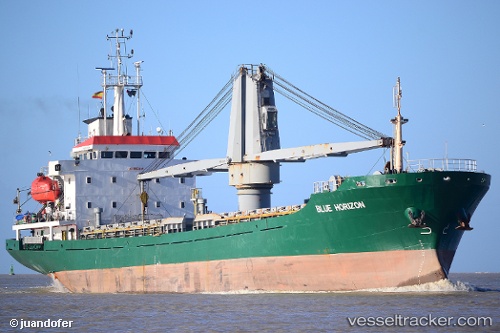
Vessel SANIYE IMAMOGLU IMO: 9420394, MMSI: 352001744 General Cargo Ship
UTC, 88.80233, 111.99483, course: 157, speed: 81.9
UTC, 88.80233, 111.99483, course: 157, speed: 81.9
UTC, 37.24386, 6.78353, course: 94, speed: 11.3
UTC, 37.24386, 6.78353, course: 94, speed: 11.3
2026-02-08 08:04:05 UTC, 37.24386, 6.78353, course: 94, speed: 11.3
Live AIS position:
UTC. 18 nm NE of Collo),
updated 2026-02-08 08:04:05 UTC.
Find the position of the vessel SANIYE IMAMOGLU on the map. The latter are known coordinates and path.
marine traffic ship tracker show on live map
The current position of vessel SANIYE IMAMOGLU is 37.24386 lat / 6.78353 lng. Updated: 2026-02-08 08:04:05 UTCCurrently sailing under the flag of Panama
SANIYE IMAMOGLU built in 2007 year
Deadweight:
6529 tDetails:
Last coordinates of the vessel:
UTC, 88.80233, 111.99483, course: 157, speed: 81.9UTC, 88.80233, 111.99483, course: 157, speed: 81.9
UTC, 88.80233, 111.99483, course: 157, speed: 81.9
UTC, 37.24386, 6.78353, course: 94, speed: 11.3
UTC, 37.24386, 6.78353, course: 94, speed: 11.3
2026-02-08 08:04:05 UTC, 37.24386, 6.78353, course: 94, speed: 11.3