 vesseltracker.com
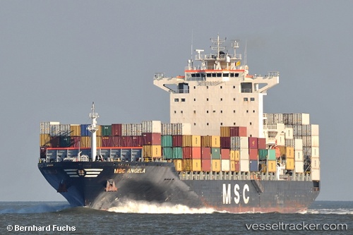
Vessel Msc Angela IMO: 9351593, MMSI: 370254000 Container Ship
UTC, 56.18811, -12.97566, course: 275, speed: 19.9
UTC, 56.30500, -14.59833, course: -1, speed: 19
2026-02-04 01:33:10 UTC, 56.36667, -15.58333, course: -1, speed: 19
Live AIS position:
UTC. 165 nm NW of Semlow),
updated 2026-02-04 01:33:10 UTC.
Find the position of the vessel Msc Angela on the map. The latter are known coordinates and path.
marine traffic ship tracker show on live map
The current position of vessel Msc Angela is 56.36667 lat / -15.58333 lng. Updated: 2026-02-04 01:33:10 UTCCurrently sailing under the flag of Panama
Msc Angela built in 2008 year
Deadweight:
50568 tDetails:
Last coordinates of the vessel:
UTC, 56.10333, -12.34833, course: -1, speed: 19UTC, 56.18811, -12.97566, course: 275, speed: 19.9
UTC, 56.30500, -14.59833, course: -1, speed: 19
2026-02-04 01:33:10 UTC, 56.36667, -15.58333, course: -1, speed: 19