 vesseltracker.com
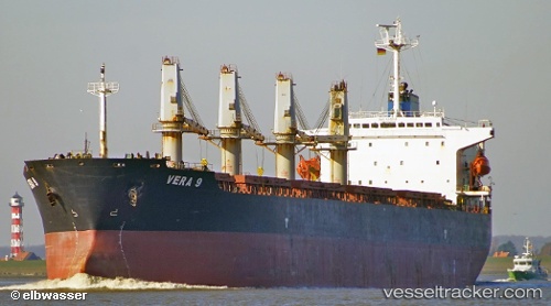
Vessel Era S IMO: 9202118, MMSI: 372430000 Bulk Carrier
UTC, 30.15239, 123.19043, course: 34, speed: 0.2
UTC, 30.15365, 123.18952, course: 87, speed: 0
2026-03-20 13:51:10 UTC, 30.15505, 123.19002, course: 129, speed: 0.2
Live Vessel Era S Analytics (details, animations, etc.)
Live AIS position: UTC. 49 nm E of JINHAI HEAVY INDUSTR), updated 2026-03-20 13:51:10 UTC.Find the position of the vessel Era S on the map. The latter are known coordinates and path.
marine traffic ship tracker show on live map
The current position of vessel Era S is 30.15505 lat / 123.19002 lng. Updated: 2026-03-20 13:51:10 UTCDetails:
Last coordinates of the vessel:
UTC, 30.15204, 123.19112, course: 4, speed: 0UTC, 30.15239, 123.19043, course: 34, speed: 0.2
UTC, 30.15365, 123.18952, course: 87, speed: 0
2026-03-20 13:51:10 UTC, 30.15505, 123.19002, course: 129, speed: 0.2