 vesseltracker.com
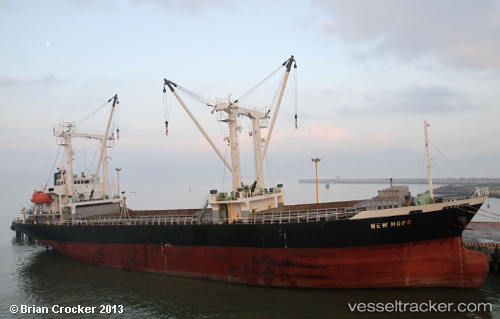
Vessel ISLANDER A IMO: 9190987, MMSI: 511100680 General Cargo Ship
UTC, 50.79769, 50.51951, course: 176, speed: 0
2026-02-10 21:11:14 UTC, 50.79769, 50.51951, course: 176, speed: 0
Live AIS position:
UTC. 29 nm SE of Semiglavyy Mar),
updated 2026-02-10 21:11:14 UTC.
Find the position of the vessel ISLANDER A on the map. The latter are known coordinates and path.
marine traffic ship tracker show on live map
The current position of vessel ISLANDER A is 50.79769 lat / 50.51951 lng. Updated: 2026-02-10 21:11:14 UTCCurrently sailing under the flag of Palau
ISLANDER A built in 1998 year
Deadweight:
7525 tDetails:
Last coordinates of the vessel:
UTC, 50.79769, 50.51951, course: 176, speed: 0UTC, 50.79769, 50.51951, course: 176, speed: 0
2026-02-10 21:11:14 UTC, 50.79769, 50.51951, course: 176, speed: 0