 vesseltracker.com
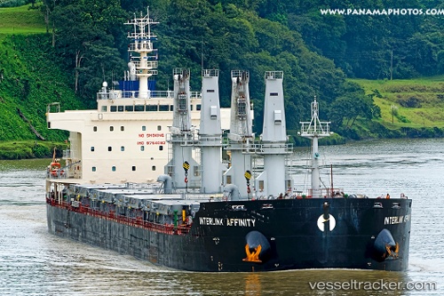
Vessel Interlink Affinity IMO: 9754082, MMSI: 538006477 Bulk Carrier
UTC, -27.48333, -48.09667, course: -1, speed: 11
UTC, -27.16939, -48.06695, course: 6, speed: 12.2
2026-02-18 16:16:10 UTC, -26.60291, -48.09485, course: 0, speed: 12.4
Live AIS position:
UTC. 29 nm E of Balneário Barra do Sul),
updated 2026-02-18 16:16:10 UTC.
Find the position of the vessel Interlink Affinity on the map. The latter are known coordinates and path.
marine traffic ship tracker show on live map
The current position of vessel Interlink Affinity is -26.60291 lat / -48.09485 lng. Updated: 2026-02-18 16:16:10 UTCDetails:
Last coordinates of the vessel:
UTC, -27.76833, -48.15167, course: -1, speed: 11UTC, -27.48333, -48.09667, course: -1, speed: 11
UTC, -27.16939, -48.06695, course: 6, speed: 12.2
2026-02-18 16:16:10 UTC, -26.60291, -48.09485, course: 0, speed: 12.4