 vesseltracker.com
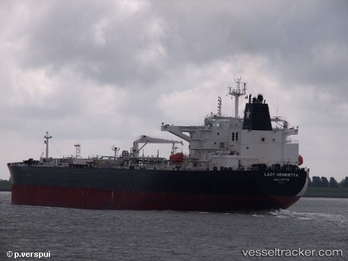
Vessel LADY HENRIETTA IMO: 9604380, MMSI: 538010003 Crude Oil Tanker
UTC, 59.71279, 28.42654, course: 179, speed: 0
UTC, 59.71282, 28.42651, course: 179, speed: 0
2026-01-28 12:10:29 UTC, 59.71281, 28.42673, course: 179, speed: 0
Live AIS position:
UTC. Near Ruch’I),
updated 2026-01-28 12:10:29 UTC.
Find the position of the vessel LADY HENRIETTA on the map. The latter are known coordinates and path.
marine traffic ship tracker show on live map
The current position of vessel LADY HENRIETTA is 59.71281 lat / 28.42673 lng. Updated: 2026-01-28 12:10:29 UTCCurrently sailing under the flag of Marshall Islands
LADY HENRIETTA built in 2012 year
Deadweight:
111815 tDetails:
Last coordinates of the vessel:
UTC, 59.71282, 28.42651, course: 179, speed: 0UTC, 59.71279, 28.42654, course: 179, speed: 0
UTC, 59.71282, 28.42651, course: 179, speed: 0
2026-01-28 12:10:29 UTC, 59.71281, 28.42673, course: 179, speed: 0