 vesseltracker.com
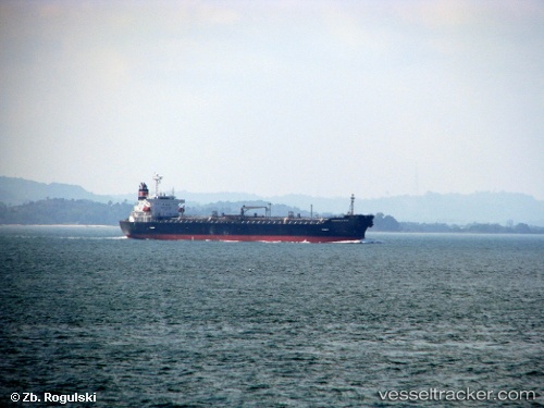
Vessel 'CHEM GUARD' IMO: 9261762, MMSI: 563105200
UTC, 51.90122, 4.35995, course: 264, speed: 0.1
UTC, 51.90132, 4.35985, course: 264, speed: 0
2026-01-27 16:30:22 UTC, 51.90123, 4.35995, course: 265, speed: 0
Live AIS position:
UTC. Near VONDELINGENPLAAT - ROTTERDAM),
updated 2026-01-27 16:30:22 UTC.
Find the position of the vessel 'CHEM GUARD' on the map. The latter are known coordinates and path.
marine traffic ship tracker show on live map
The current position of vessel 'CHEM GUARD' is 51.90123 lat / 4.35995 lng. Updated: 2026-01-27 16:30:22 UTCDetails:
Last coordinates of the vessel:
UTC, 51.90132, 4.35998, course: 264, speed: 0.1UTC, 51.90122, 4.35995, course: 264, speed: 0.1
UTC, 51.90132, 4.35985, course: 264, speed: 0
2026-01-27 16:30:22 UTC, 51.90123, 4.35995, course: 265, speed: 0