 vesseltracker.com
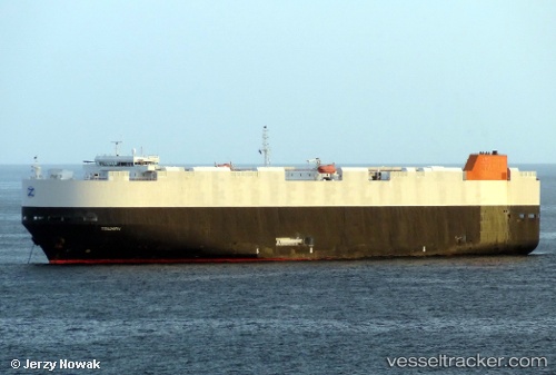
Vessel Lake Wanaka IMO: 9432892, MMSI: 636016206 Vehicles Carrier
UTC, -31.29963, 30.29140, course: 213, speed: 16.2
UTC, -31.70602, 29.86108, course: 220, speed: 16.4
2026-02-15 16:18:10 UTC, -32.28477, 29.21624, course: 225, speed: 18.7
Live AIS position:
UTC. 42 nm S of Port Saint John's),
updated 2026-02-15 16:18:10 UTC.
Find the position of the vessel Lake Wanaka on the map. The latter are known coordinates and path.
marine traffic ship tracker show on live map
The current position of vessel Lake Wanaka is -32.28477 lat / 29.21624 lng. Updated: 2026-02-15 16:18:10 UTCDetails:
Last coordinates of the vessel:
UTC, -30.87895, 30.62244, course: 210, speed: 16UTC, -31.29963, 30.29140, course: 213, speed: 16.2
UTC, -31.70602, 29.86108, course: 220, speed: 16.4
2026-02-15 16:18:10 UTC, -32.28477, 29.21624, course: 225, speed: 18.7