 vesseltracker.com
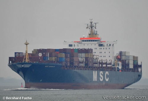
Vessel Msc Shaula IMO: 9036002, MMSI: 636017346 Container Ship
UTC, 55.65374, -168.92207, course: 314, speed: 13.1
UTC, 55.86319, -169.43015, course: 307, speed: 13.1
2026-02-27 09:31:42 UTC, 56.02810, -169.86003, course: 313, speed: 13.3
Live AIS position:
UTC. 137 nm NE of Burnopfield),
updated 2026-02-27 09:31:42 UTC.
Find the position of the vessel Msc Shaula on the map. The latter are known coordinates and path.
marine traffic ship tracker show on live map
The current position of vessel Msc Shaula is 56.02810 lat / -169.86003 lng. Updated: 2026-02-27 09:31:42 UTCCurrently sailing under the flag of Liberia
Msc Shaula built in 1992 year
Deadweight:
61153 tDetails:
Last coordinates of the vessel:
UTC, 55.32089, -168.10797, course: 312, speed: 13.7UTC, 55.65374, -168.92207, course: 314, speed: 13.1
UTC, 55.86319, -169.43015, course: 307, speed: 13.1
2026-02-27 09:31:42 UTC, 56.02810, -169.86003, course: 313, speed: 13.3