 vesseltracker.com
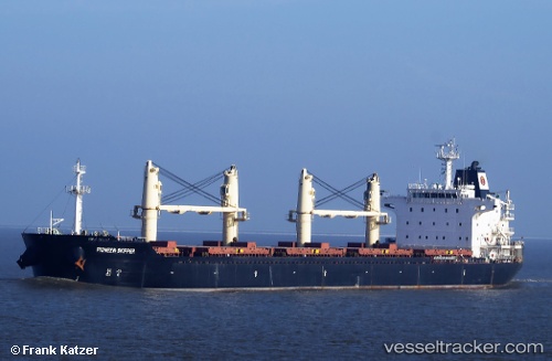
Vessel Agia Doxa IMO: 9467976, MMSI: 636018086 Bulk Carrier
UTC, 34.45685, -27.64218, course: 253, speed: 10.3
UTC, 34.33833, -28.15500, course: -1, speed: 10
2026-02-15 13:28:29 UTC, 34.28167, -28.39833, course: -1, speed: 10
Live AIS position:
UTC. 225 nm SW of Villa Do Porto),
updated 2026-02-15 13:28:29 UTC.
Find the position of the vessel Agia Doxa on the map. The latter are known coordinates and path.
marine traffic ship tracker show on live map
The current position of vessel Agia Doxa is 34.28167 lat / -28.39833 lng. Updated: 2026-02-15 13:28:29 UTCCurrently sailing under the flag of Liberia
Agia Doxa built in 2010 year
Deadweight:
33261 tDetails:
Last coordinates of the vessel:
UTC, 34.52236, -27.39686, course: 255, speed: 10.4UTC, 34.45685, -27.64218, course: 253, speed: 10.3
UTC, 34.33833, -28.15500, course: -1, speed: 10
2026-02-15 13:28:29 UTC, 34.28167, -28.39833, course: -1, speed: 10