 vesseltracker.com
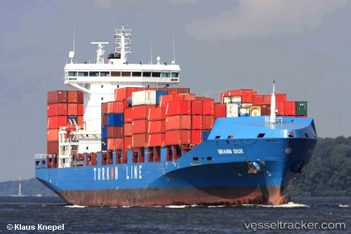
Vessel ADMIRAL GALAXY IMO: 9365843, MMSI: 636019647 Container Ship
UTC, 37.88779, 23.52573, course: 26, speed: 0.1
UTC, 37.88796, 23.52591, course: 18, speed: 0.3
2026-02-22 03:26:35 UTC, 37.88765, 23.52575, course: 358, speed: 0.6
Live AIS position:
UTC. Near Kamaterón),
updated 2026-02-22 03:26:35 UTC.
Find the position of the vessel ADMIRAL GALAXY on the map. The latter are known coordinates and path.
marine traffic ship tracker show on live map
The current position of vessel ADMIRAL GALAXY is 37.88765 lat / 23.52575 lng. Updated: 2026-02-22 03:26:35 UTCCurrently sailing under the flag of Liberia
ADMIRAL GALAXY built in 2008 year
Deadweight:
26811 tDetails:
Last coordinates of the vessel:
UTC, 37.88799, 23.52675, course: 351, speed: 0UTC, 37.88779, 23.52573, course: 26, speed: 0.1
UTC, 37.88796, 23.52591, course: 18, speed: 0.3
2026-02-22 03:26:35 UTC, 37.88765, 23.52575, course: 358, speed: 0.6