 vesseltracker.com
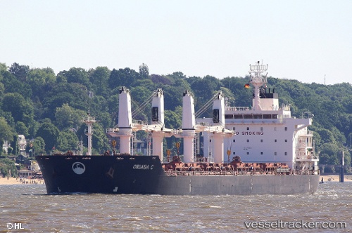
Vessel KALLIOPI S IMO: 9450844, MMSI: 636021274 Bulk Carrier
UTC, 41.18667, -12.90667, course: -1, speed: 8
UTC, 41.43500, -12.80500, course: -1, speed: 8
2026-02-28 04:05:19 UTC, 41.79167, -12.66667, course: -1, speed: 8
Live AIS position:
UTC. 56 nm W of Bear River City),
updated 2026-02-28 04:05:19 UTC.
Find the position of the vessel KALLIOPI S on the map. The latter are known coordinates and path.
marine traffic ship tracker show on live map
The current position of vessel KALLIOPI S is 41.79167 lat / -12.66667 lng. Updated: 2026-02-28 04:05:19 UTCCurrently sailing under the flag of Liberia
KALLIOPI S built in 2012 year
Deadweight:
34417 tDetails:
Last coordinates of the vessel:
UTC, 41.01667, -12.97500, course: -1, speed: 8UTC, 41.18667, -12.90667, course: -1, speed: 8
UTC, 41.43500, -12.80500, course: -1, speed: 8
2026-02-28 04:05:19 UTC, 41.79167, -12.66667, course: -1, speed: 8