 vesseltracker.com
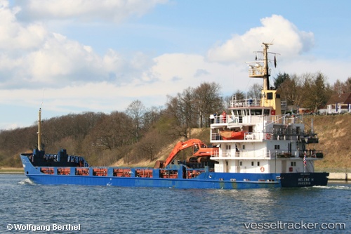
Vessel MIA IMO: 7803530, MMSI: 620938000 General Cargo Ship
UTC, 32.76333, 22.65333, course: -1, speed: 0
UTC, 32.76333, 22.65333, course: -1, speed: 0
2026-02-04 23:14:39 UTC, 32.76333, 22.65333, course: -1, speed: 0
Live AIS position:
UTC. Near Darnah),
updated 2026-02-04 23:14:39 UTC.
Find the position of the vessel MIA on the map. The latter are known coordinates and path.
marine traffic ship tracker show on live map
The current position of vessel MIA is 32.76333 lat / 22.65333 lng. Updated: 2026-02-04 23:14:39 UTCCurrently sailing under the flag of Comoros
MIA built in 1978 year
Deadweight:
3147 tDetails:
Last coordinates of the vessel:
UTC, 32.76333, 22.65333, course: -1, speed: 0UTC, 32.76333, 22.65333, course: -1, speed: 0
UTC, 32.76333, 22.65333, course: -1, speed: 0
2026-02-04 23:14:39 UTC, 32.76333, 22.65333, course: -1, speed: 0