 vesseltracker.com
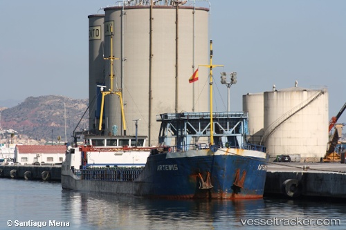
Vessel GERDA S IMO: 8402656, MMSI: 577573000 General Cargo Ship
UTC, 41.18342, 29.09055, course: 43, speed: 7.7
UTC, 41.34770, 29.18930, course: 300, speed: 7.1
2026-02-11 04:07:40 UTC, 41.44369, 28.85449, course: 287, speed: 6.1
Live AIS position:
UTC. 12 nm NE of Istanbul New Airport),
updated 2026-02-11 04:07:40 UTC.
Find the position of the vessel GERDA S on the map. The latter are known coordinates and path.
marine traffic ship tracker show on live map
The current position of vessel GERDA S is 41.44369 lat / 28.85449 lng. Updated: 2026-02-11 04:07:40 UTCCurrently sailing under the flag of Vanuatu
GERDA S built in 1984 year
Deadweight:
1498 tDetails:
Last coordinates of the vessel:
UTC, 41.03631, 29.01118, course: 55, speed: 6.7UTC, 41.18342, 29.09055, course: 43, speed: 7.7
UTC, 41.34770, 29.18930, course: 300, speed: 7.1
2026-02-11 04:07:40 UTC, 41.44369, 28.85449, course: 287, speed: 6.1