 vesseltracker.com
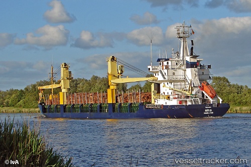
Vessel BROTHERS WAY IMO: 8411621, MMSI: 341380000 General Cargo Ship
UTC, 45.20124, 28.85428, course: 292, speed: 0.1
UTC, 45.20124, 28.85428, course: 292, speed: 0.1
2026-01-25 10:26:34 UTC, 41.92534, 29.20750, course: 184, speed: 8.8
Live AIS position:
UTC. 42 nm N of RUMELI FENERI),
updated 2026-01-25 10:26:34 UTC.
Find the position of the vessel BROTHERS WAY on the map. The latter are known coordinates and path.
marine traffic ship tracker show on live map
The current position of vessel BROTHERS WAY is 41.92534 lat / 29.20750 lng. Updated: 2026-01-25 10:26:34 UTCCurrently sailing under the flag of St.Kitts and Nevis
BROTHERS WAY built in 1985 year
Deadweight:
4407 tDetails:
Last coordinates of the vessel:
UTC, 45.20124, 28.85428, course: 292, speed: 0.1UTC, 45.20124, 28.85428, course: 292, speed: 0.1
UTC, 45.20124, 28.85428, course: 292, speed: 0.1
2026-01-25 10:26:34 UTC, 41.92534, 29.20750, course: 184, speed: 8.8