 vesseltracker.com
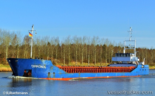
Vessel SINO P IMO: 8501062, MMSI: 671330100 General Cargo Ship
UTC, 32.81270, 35.03630, course: 162, speed: 0.2
UTC, 32.81267, 35.03633, course: 161, speed: 1
2026-02-18 17:31:02 UTC, 32.81265, 35.03628, course: 161, speed: 0.3
Live AIS position:
UTC. Near Haifa),
updated 2026-02-18 17:31:02 UTC.
Find the position of the vessel SINO P on the map. The latter are known coordinates and path.
marine traffic ship tracker show on live map
The current position of vessel SINO P is 32.81265 lat / 35.03628 lng. Updated: 2026-02-18 17:31:02 UTCCurrently sailing under the flag of Togo
SINO P built in 1985 year
Deadweight:
2681 tDetails:
Last coordinates of the vessel:
UTC, 32.81267, 35.03628, course: 161, speed: 0UTC, 32.81270, 35.03630, course: 162, speed: 0.2
UTC, 32.81267, 35.03633, course: 161, speed: 1
2026-02-18 17:31:02 UTC, 32.81265, 35.03628, course: 161, speed: 0.3