 vesseltracker.com
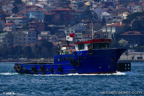
Vessel Turkuaz2 IMO: 8655576, MMSI: 271073016 Tug
UTC, 36.30401, 30.18492, course: -1, speed: 0.5
UTC, 36.30353, 30.18446, course: -1, speed: 0.8
2026-02-08 05:36:09 UTC, 36.19484, 30.32815, course: -1, speed: 7.3
Live AIS position:
UTC. 10 nm SE of FINIKE),
updated 2026-02-08 05:36:09 UTC.
Find the position of the vessel Turkuaz2 on the map. The latter are known coordinates and path.
marine traffic ship tracker show on live map
The current position of vessel Turkuaz2 is 36.19484 lat / 30.32815 lng. Updated: 2026-02-08 05:36:09 UTCDetails:
Last coordinates of the vessel:
UTC, 36.30409, 30.18446, course: -1, speed: 0.2UTC, 36.30401, 30.18492, course: -1, speed: 0.5
UTC, 36.30353, 30.18446, course: -1, speed: 0.8
2026-02-08 05:36:09 UTC, 36.19484, 30.32815, course: -1, speed: 7.3