 vesseltracker.com
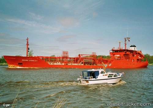
Vessel Key West IMO: 9020429, MMSI: 236668000 Chemical Oil Products Tanker
UTC, 61.22899, 20.48101, course: 227, speed: 13.6
UTC, 60.65845, 19.30643, course: 224, speed: 13.7
2026-02-24 08:33:08 UTC, 60.17698, 19.00408, course: 145, speed: 13.1
Live AIS position:
UTC. Near Grisslehamn),
updated 2026-02-24 08:33:08 UTC.
Find the position of the vessel Key West on the map. The latter are known coordinates and path.
marine traffic ship tracker show on live map
The current position of vessel Key West is 60.17698 lat / 19.00408 lng. Updated: 2026-02-24 08:33:08 UTCDetails:
Last coordinates of the vessel:
UTC, 61.28953, 20.60773, course: 225, speed: 13.8UTC, 61.22899, 20.48101, course: 227, speed: 13.6
UTC, 60.65845, 19.30643, course: 224, speed: 13.7
2026-02-24 08:33:08 UTC, 60.17698, 19.00408, course: 145, speed: 13.1