 vesseltracker.com
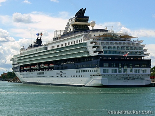
Vessel Marella Explorer 2 IMO: 9072446, MMSI: 249054000 Cruise Ship
UTC, 28.22096, -17.02531, course: 359, speed: 14.3
UTC, 28.61333, -17.04167, course: -1, speed: 15
2026-02-25 17:35:11 UTC, 29.09500, -17.02333, course: -1, speed: 14
Live AIS position:
UTC. 44 nm N of Buenavista del Norte),
updated 2026-02-25 17:35:11 UTC.
Find the position of the vessel Marella Explorer 2 on the map. The latter are known coordinates and path.
marine traffic ship tracker show on live map
The current position of vessel Marella Explorer 2 is 29.09500 lat / -17.02333 lng. Updated: 2026-02-25 17:35:11 UTCCurrently sailing under the flag of Malta
Marella Explorer 2 built in 1995 year
Deadweight:
7260 tDetails:
Last coordinates of the vessel:
UTC, 28.08320, -17.10966, course: 210, speed: 0UTC, 28.22096, -17.02531, course: 359, speed: 14.3
UTC, 28.61333, -17.04167, course: -1, speed: 15
2026-02-25 17:35:11 UTC, 29.09500, -17.02333, course: -1, speed: 14