 vesseltracker.com
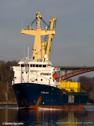
Vessel ROMAN E IMO: 9083134, MMSI: 353817000 Heavy Load Carrier
UTC, 6.81463, 82.39903, course: 34, speed: 7.3
UTC, 6.81463, 82.39903, course: 34, speed: 7.3
2026-02-24 22:40:47 UTC, 6.81463, 82.39903, course: 34, speed: 7.3
Live AIS position:
UTC. 43 nm SE of Oluvil),
updated 2026-02-24 22:40:47 UTC.
Find the position of the vessel ROMAN E on the map. The latter are known coordinates and path.
marine traffic ship tracker show on live map
The current position of vessel ROMAN E is 6.81463 lat / 82.39903 lng. Updated: 2026-02-24 22:40:47 UTCCurrently sailing under the flag of Panama
ROMAN E built in 1995 year
Deadweight:
5158 tDetails:
Last coordinates of the vessel:
UTC, 5.91702, 81.70377, course: -1, speed: 5.1UTC, 6.81463, 82.39903, course: 34, speed: 7.3
UTC, 6.81463, 82.39903, course: 34, speed: 7.3
2026-02-24 22:40:47 UTC, 6.81463, 82.39903, course: 34, speed: 7.3