 vesseltracker.com
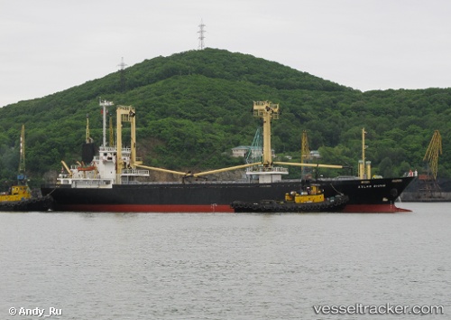
Vessel HAMMER IMO: 9168441, MMSI: 352001243 General Cargo Ship
UTC, 37.13046, -9.39278, course: 347, speed: 9
UTC, 37.31316, -9.44632, course: 350, speed: 8.4
2026-02-26 21:57:53 UTC, 37.62646, -9.53493, course: 346, speed: 8.7
Live AIS position:
UTC. 35 nm W of Almograve),
updated 2026-02-26 21:57:53 UTC.
Find the position of the vessel HAMMER on the map. The latter are known coordinates and path.
marine traffic ship tracker show on live map
The current position of vessel HAMMER is 37.62646 lat / -9.53493 lng. Updated: 2026-02-26 21:57:53 UTCCurrently sailing under the flag of Panama
HAMMER built in 1998 year
Deadweight:
4902 tDetails:
Last coordinates of the vessel:
UTC, 36.84838, -9.25166, course: 318, speed: 8.4UTC, 37.13046, -9.39278, course: 347, speed: 9
UTC, 37.31316, -9.44632, course: 350, speed: 8.4
2026-02-26 21:57:53 UTC, 37.62646, -9.53493, course: 346, speed: 8.7